HALAMA’UMA’U
Volcano, Hawai’i
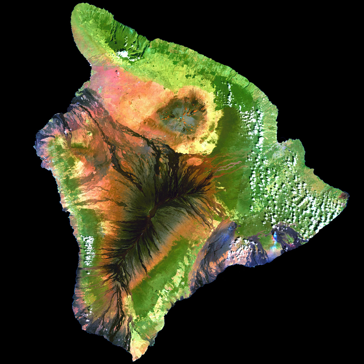
This thermo-sensitive satellite photo of Hawai’i, taken by NASA in 2001, captured a ‘collage’ of myth and story woven within Hawai’i’s diverse landscapes.
LANDSCAPE
50 miles above the Big Island of Hawai’i, the landscape appears as an enormous tapestry of art covering 4,028 square miles. The rich greens of the rainforest, the red and black rivers of lava, warm golden sand beaches and turquoise waters make up the fabric of Hawai’i.
This satellite of the Hawaiian Island shows the profiled face of the mythical Hawaiian Menehune or dwarf, with his pointed cap. They were said to be magnificent master builders who lived in the rainforests and hidden valleys. They were known as menehune or manahuna – Children of the Land, artists and masters of stone. The word menehune is two-fold: mene, a variation of mana or “miraculous power;” and hune a variation of huna—“to gather together to work and complete a task.”
QUEEN LILIUOKALANI
Click to Enlarge
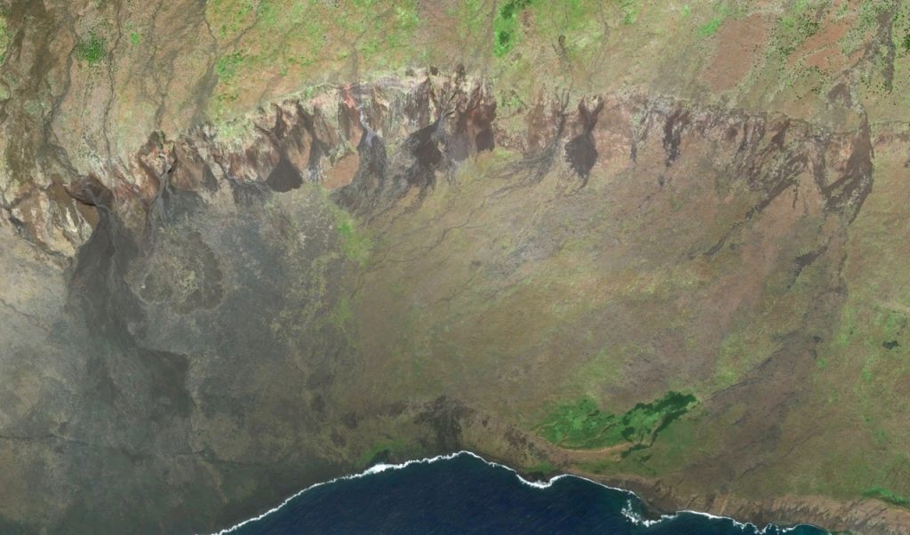
 Covering the entire southeast coast of Hawai’i, is the incredible likeness of the Beloved Queen Liliuokalani, the last reigning Monarch of the Kingdom of Hawai’i (1838-1917). Her image begins in Pahala and runs 50 miles in length, all the way to lands end at Kaloli Point. Looking closely you will see the Queen wiping a tear from her eye. Note the pearled half-glove she wears on her hand, typical of the Victorian era. In her right hand she holds a long staff, perhaps the staff of sovereignty that runs from her right hand to the end of the island. Resting on her left arm is the youngest active volcano, Halema’uma’u or “House of the Red Fern.”
(http://digital.library.upenn.edu/women/liliuokalani/hawaii/hawaii-1.html)
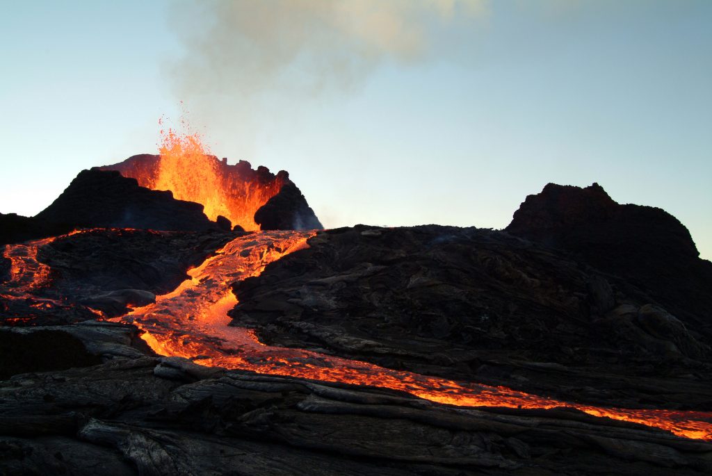
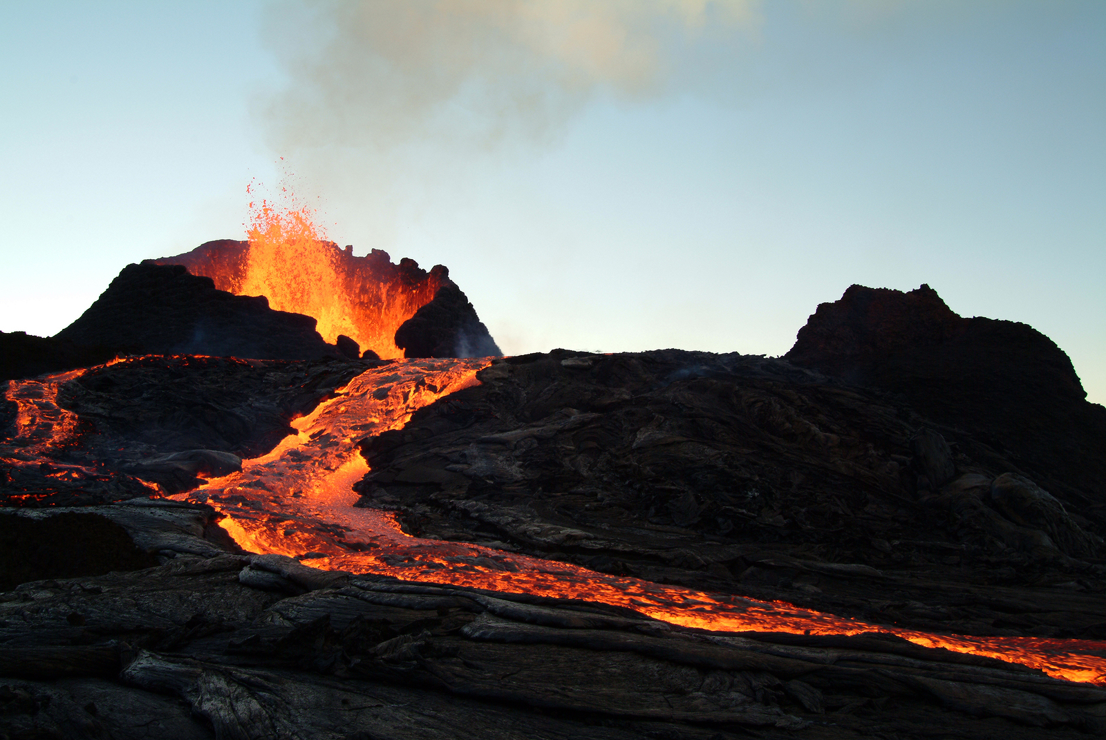
VOLCANOES
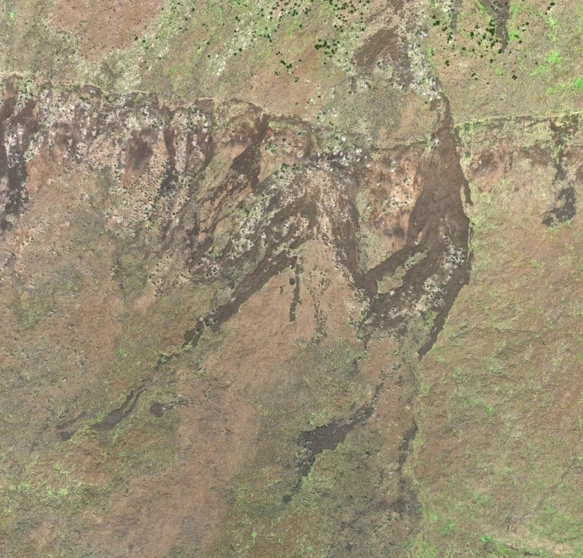
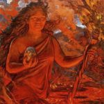 Halema’uma’u Crater, one of the most active volcanoes on earth, is said to be the home of Pele–“Goddess of Fire,” lightning, and wind. Beyond her home in the crater, her realm expands to include all volcanic movement on the Big Island. Pele, the earth builder, is the creator of all the Hawaiian Islands.
-
- Click to Enlarge
-

- Click to Enlarge
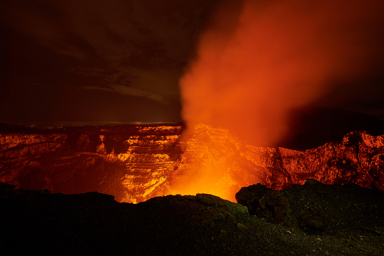
Resting on the Queen’s right arm is the elder crater Pu’u O’o-“Hill of the Digging Stick”. Pu’u O’o has been erupting continuously since 1983, making it the longest-lived rift-zone eruption of the last two centuries.
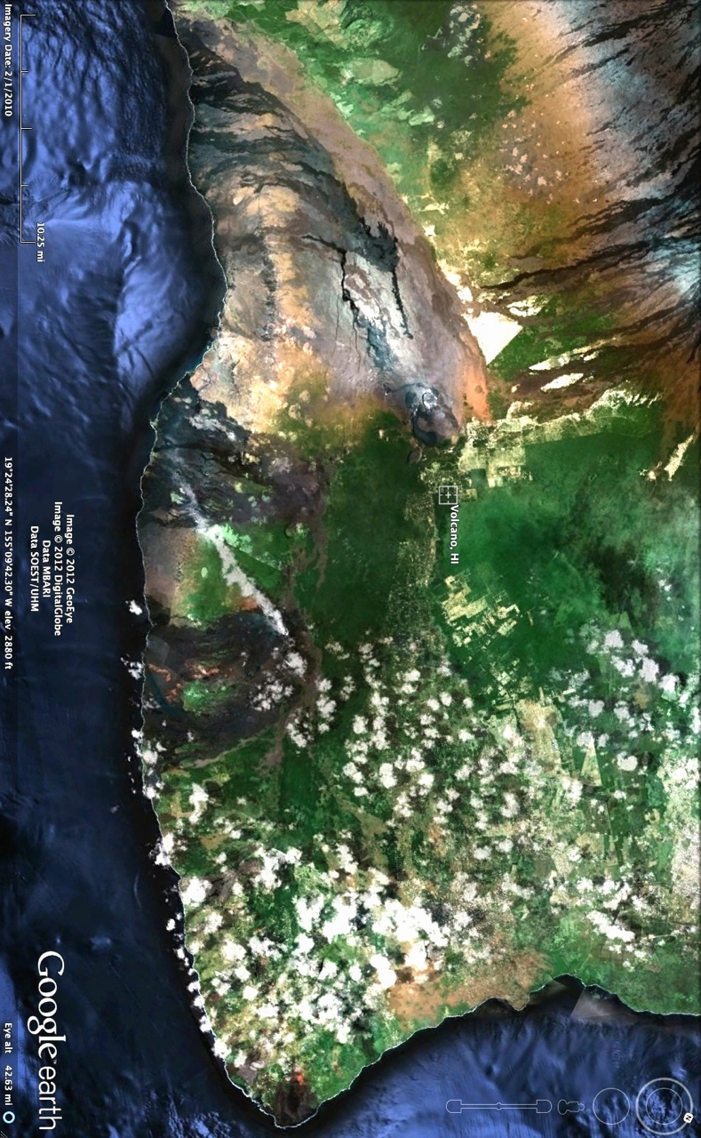
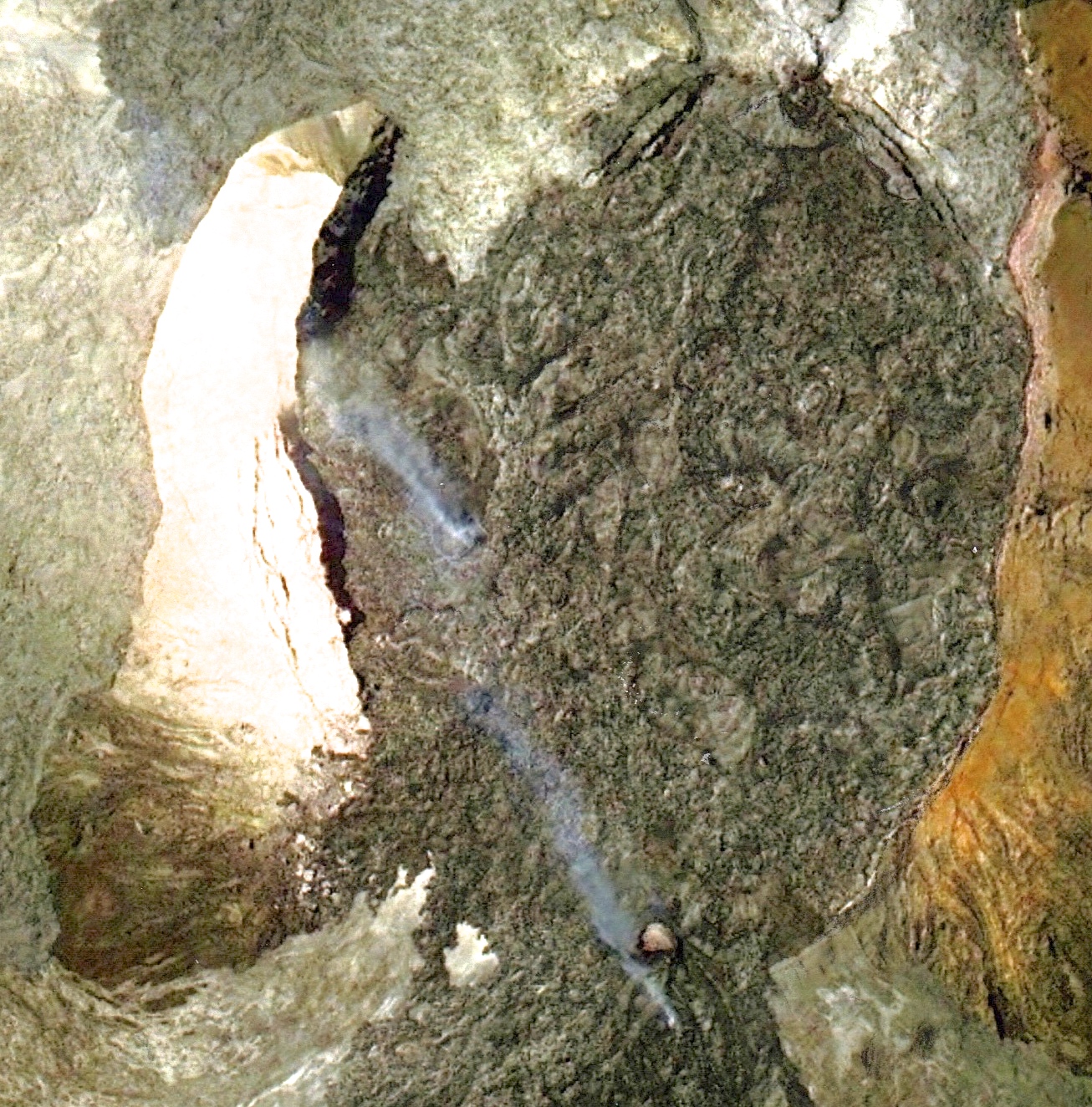
The prolific flow of Pu’u O’o perpetually changes the landscape from moment to moment, and on January 21st, 2013, a satellite captured this amazing moment from the crater. The building black lava dome revealed the shape of a face with faint eyes, nose and a bindhi (meditation point) on her forehead. Rivers of lava flow out from her head like a crown. Nestled along the left side of her face is the beautiful, long-necked Nene or Hawaiian Goose, a species that lives exclusively here in Kilauea.
-
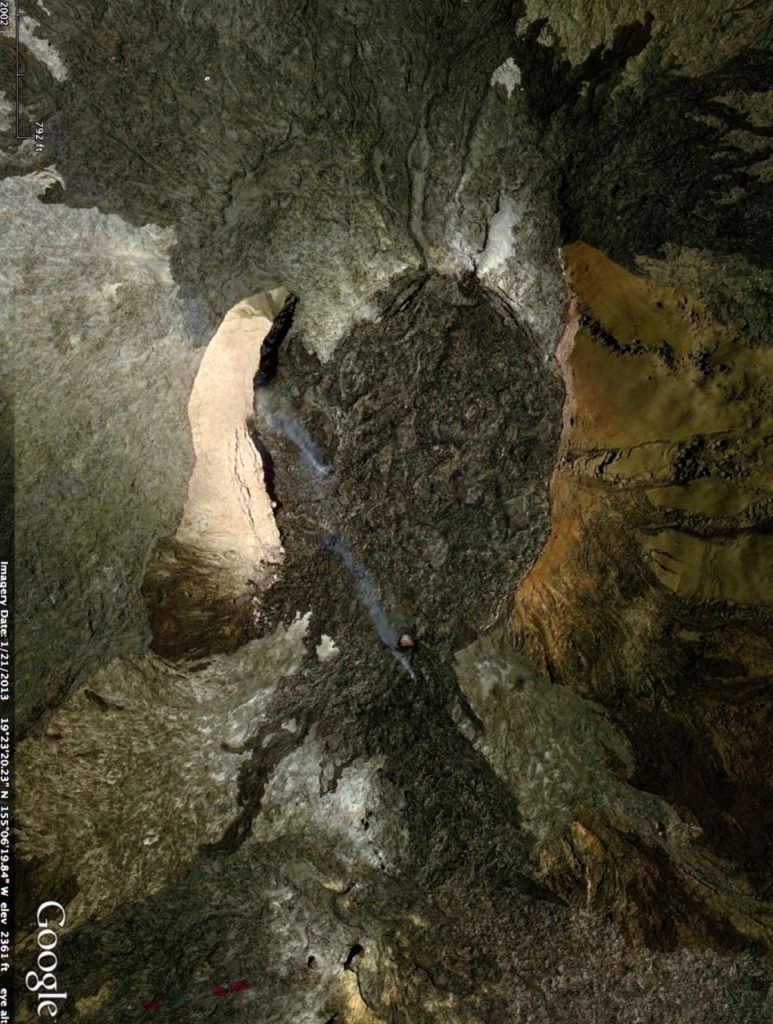
- Face of PELE with NENE–Hawaiian Goose
-
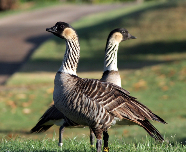
- Long-necked Nene
GENERATIONS
Turning the map to North by NE, reveals the long flowing line of countless generations of the Hawai’ian people. At the end of this generational line is ‘Ulili – the Long-beaked Sandpiper, a cultural symbol of the cooperative community of the Hawaiian people, reflected in their grace, balance, spirituality, and humility.
-
- Click to Enlarge

-
- Click to Enlarge
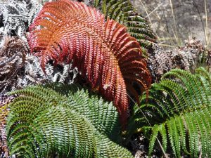
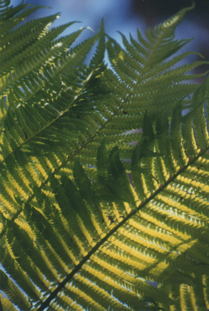
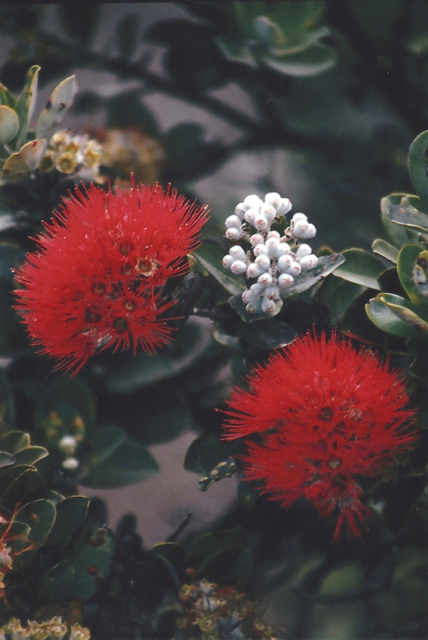
RAINFOREST
Amongst the Giant tree-ferns and red-bursting Ohia-Lehua blossoms choirs of native birds fill the Volcanoes Rainforest with a strangely beautiful symphony. Some of their melodic sounds–like the voice of the ‘I’iwi Bird–call to us as if from a primordial past.
The park has created a beautiful website with photo’s of all eight birds and the songs they sing. https://science.nature.nps.gov/parks/havo/NativeForestBirds.cfm
HOW TO LOCATE THE LANDSCAPE
Finding landscapes is a matter of patiently searching small areas of your map at varyingly levels of altitude. Some landscapes are only 500 feet in length while others are a phenomenal 2,000 miles in length. The larger the landscape the farther away you have to be to see it. Check places that you have always liked to go, as familiarity can help. Bear in mind that not all landscapes are found right side up!