SOCOSPATA FACE at SANTA MARIA
Cusco Region, Urubamba Province, Machu Picchu District
GEOGRAPHY
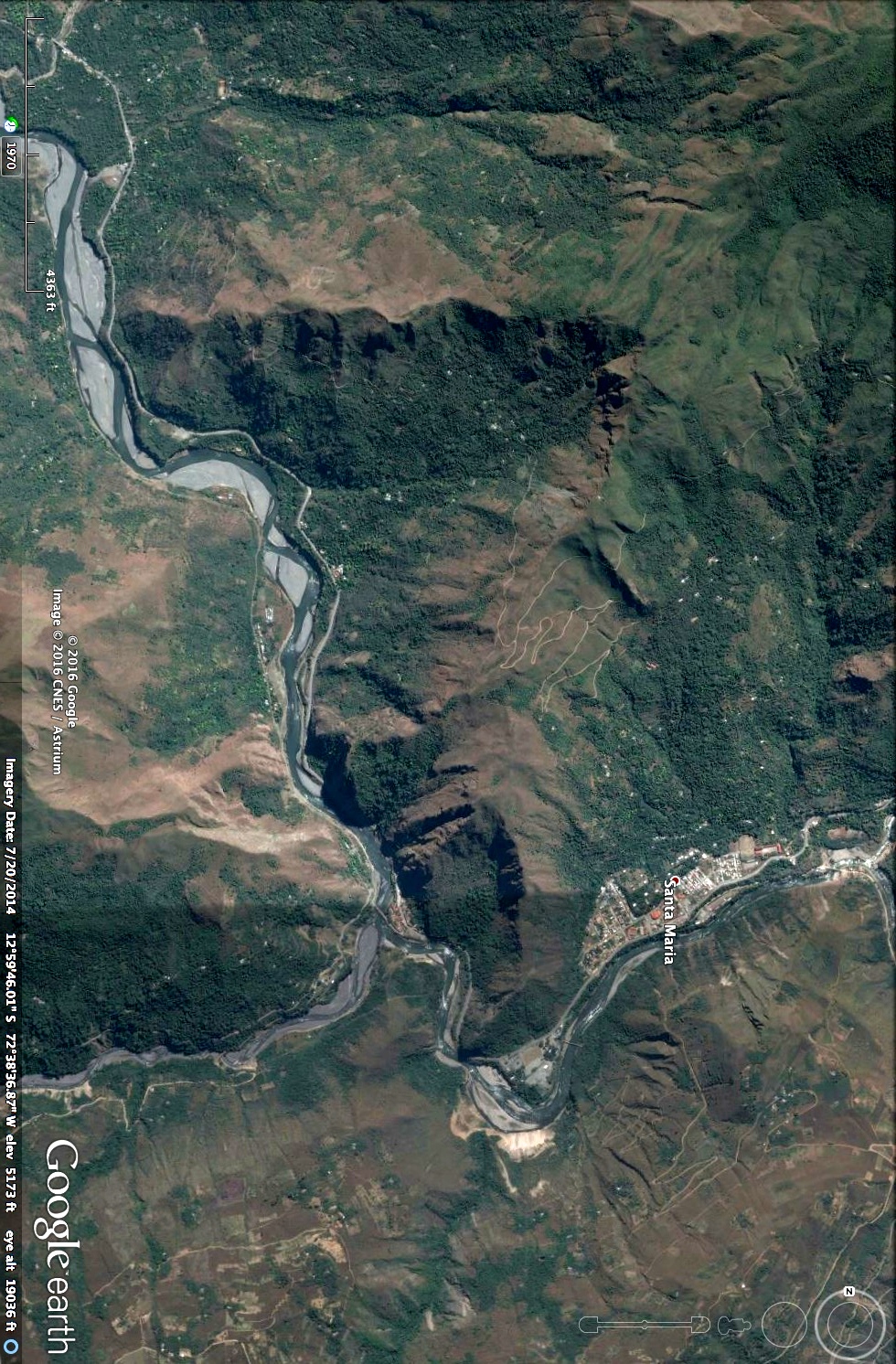
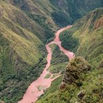
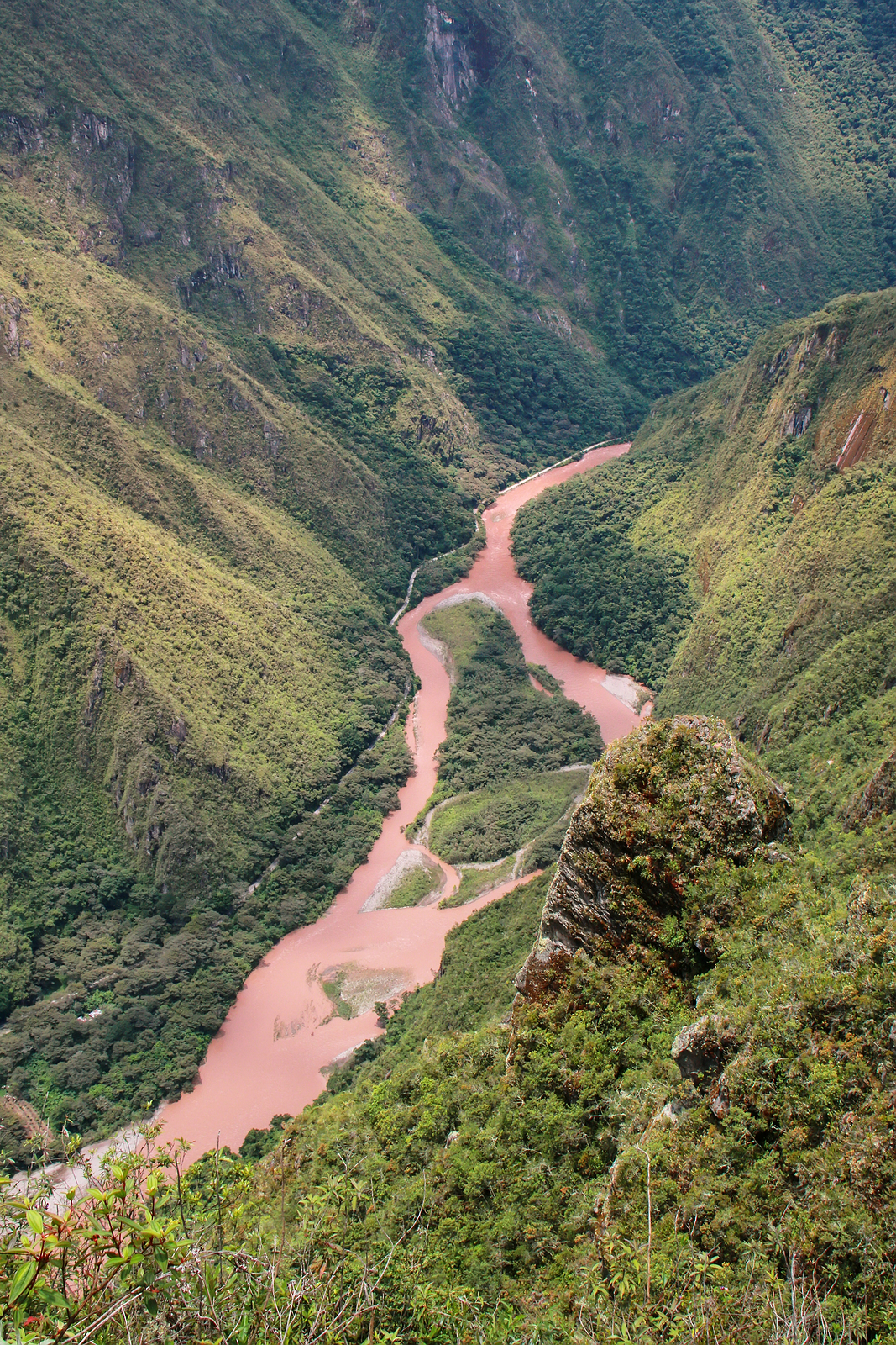
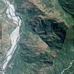
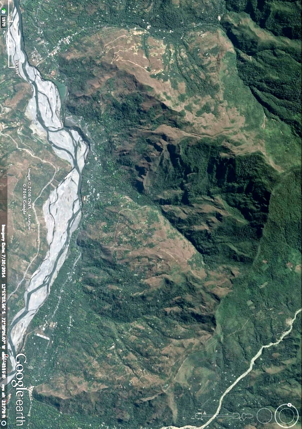
Urubamba Valley–the Incan Sacred Valley–follows along the Urubamba River from Machu Picchu to Santa Maria and Socospata.1 The Urubamba lies between 3000 to 6000 feet elevation while steep mountains tower over the river on both sides from 18,640 to 19,088 feet.2 Upstream, the Urubamba is known as Willkanuta — “The House of the Rising Sun.” Downstream, the Urubamba means both Sacred Valley and Plain of the Spider. Many cultures see the spider as Creator, a symbol of the Great Mother and the Weaver of the World.
-
- 1. Urubamba Valley
-
- 2. Urubamba River
CELESTIAL PERSPECTIVE
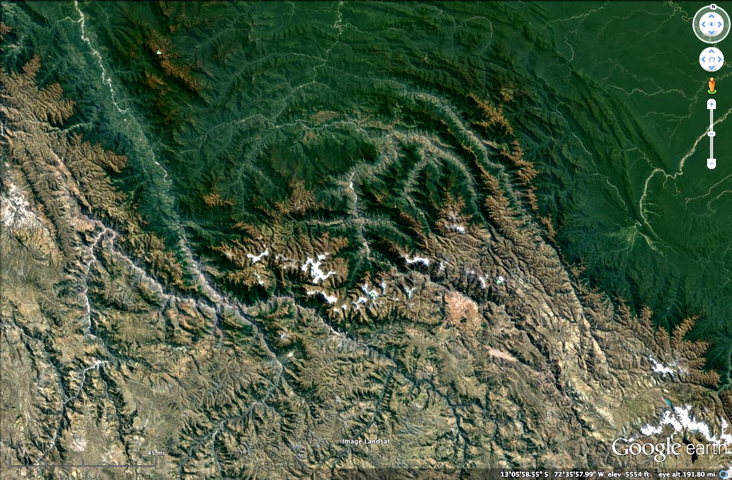
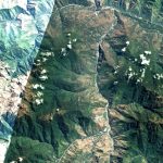
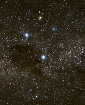 Looking down on Peru from 220 miles above the earth, you will see a cross-like design on the landscape. The four arms of the cross are actually the branches of the Urubamba River, and it is here that the Face at Santa Maria is found. The Cross is symbolic of Chakana — “the Tree of Life”–and is a mirror reflection of the Heavenly Hana Pacha — also known as the Constellation of the Cross-Crux. The Cross appears halfway between heaven and earth at nearly the same latitude as Santa Maria and Socospata.
LANDSCAPE STORY
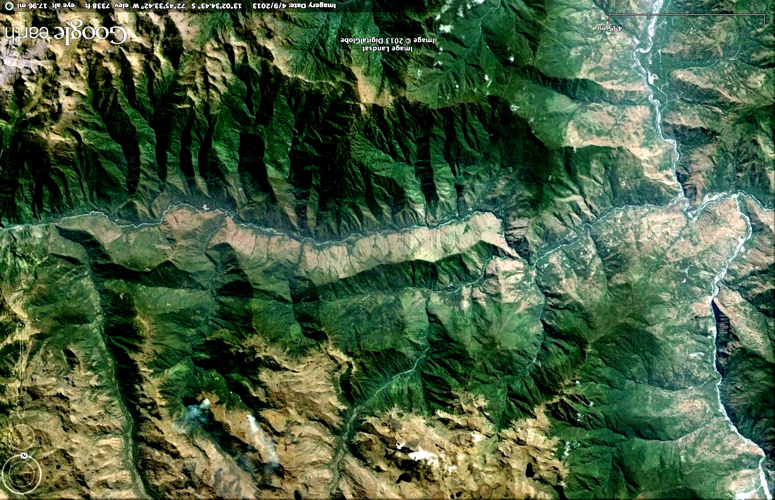
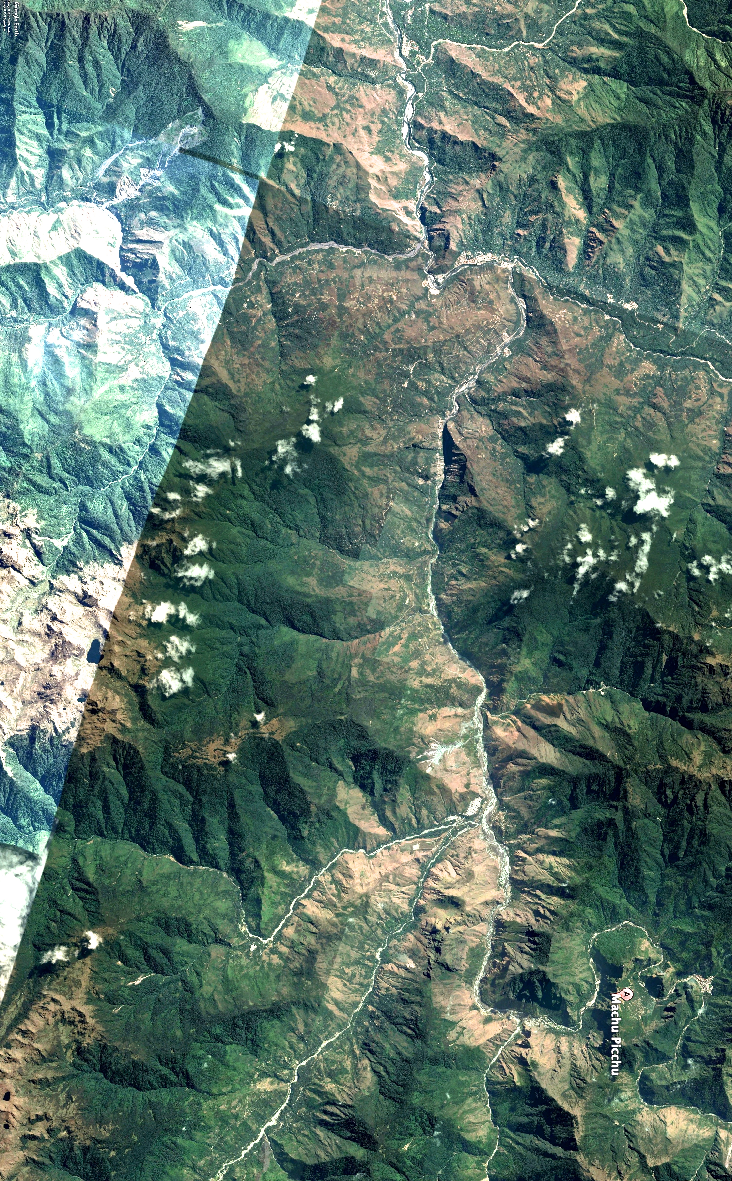
The peaceful Incan Face at Santa Maria lies shrouded in mystery, gazing westward across the vast expanse of land. Following the direction of his gaze reveals the presence of a long white serpent over 11 miles in length. My mind thought instantly of the Incas’ relationship to their mythical serpent god, Amaru, who traveled to and from the spiritual realm of the underworld. The name for the location on the map that lies ‘on the back’ of the serpent, is Huayurani. This Quechua name refers to a healer who has contact with the three realms: Hanan Pacha–the spiritual world; the Uku Pacha–the underworld; and Kay Pacha–the daily world we live in.
Following the gaze of a landscapes face across an adjoining river valley, mountain range, or desert often reveals a fuller story hidden within the whole of the landscape. Each area tells the next chapter in a great tale, leading to a deeper cultural and spiritual understanding of the place and its people.
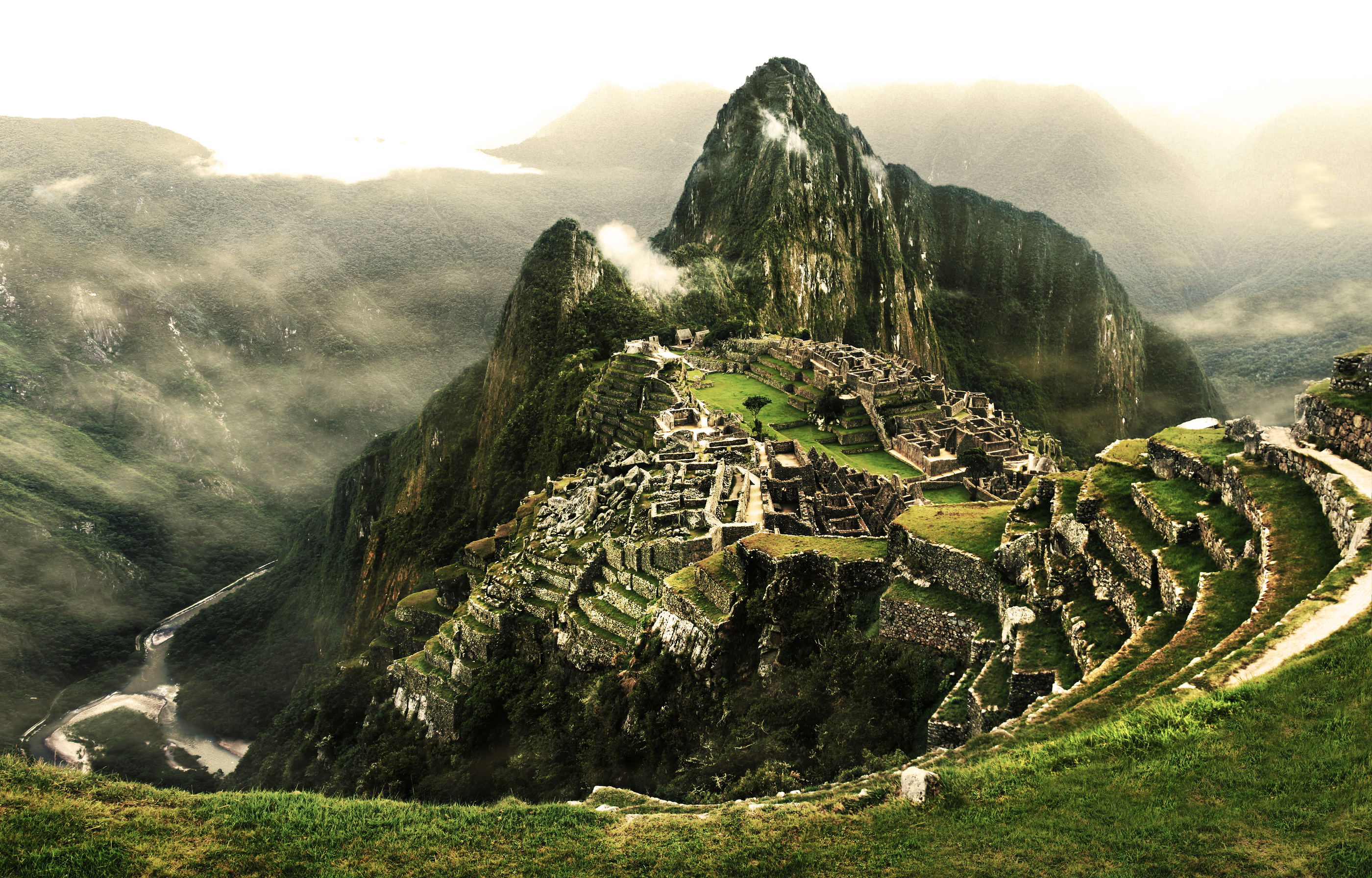
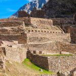
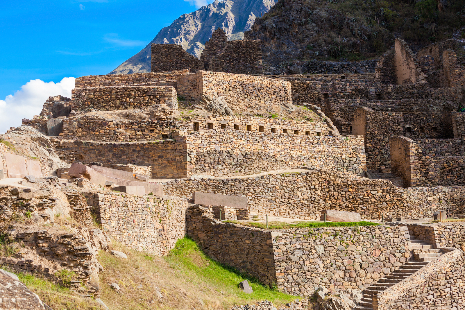
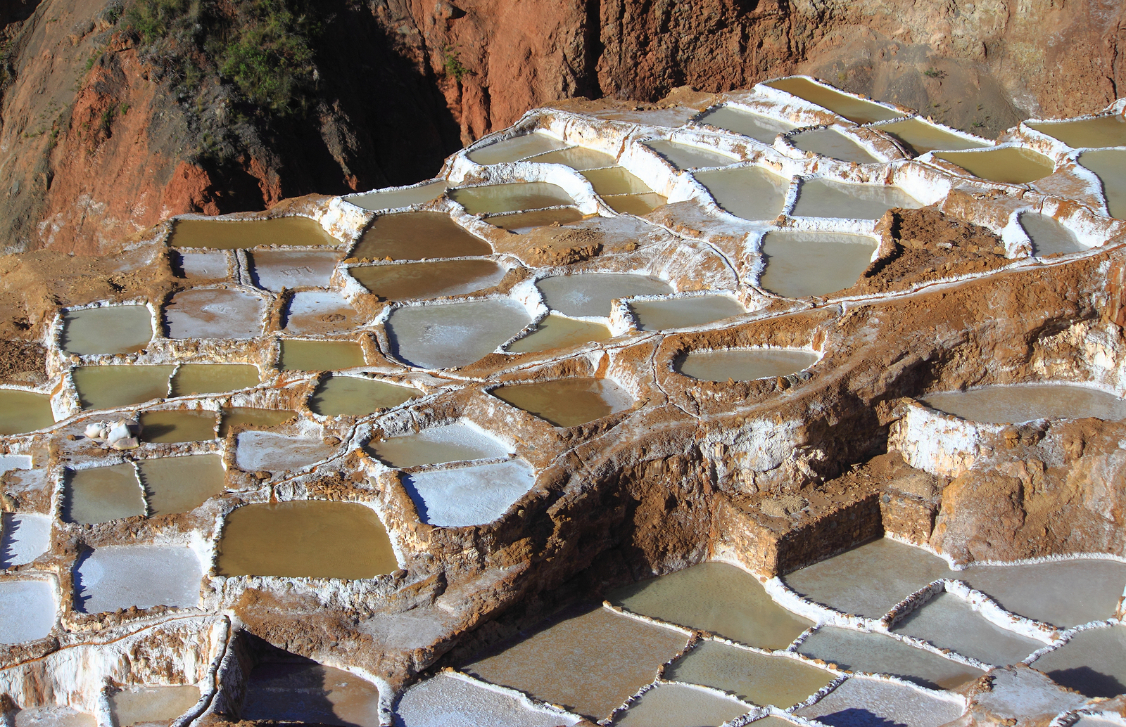
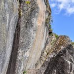
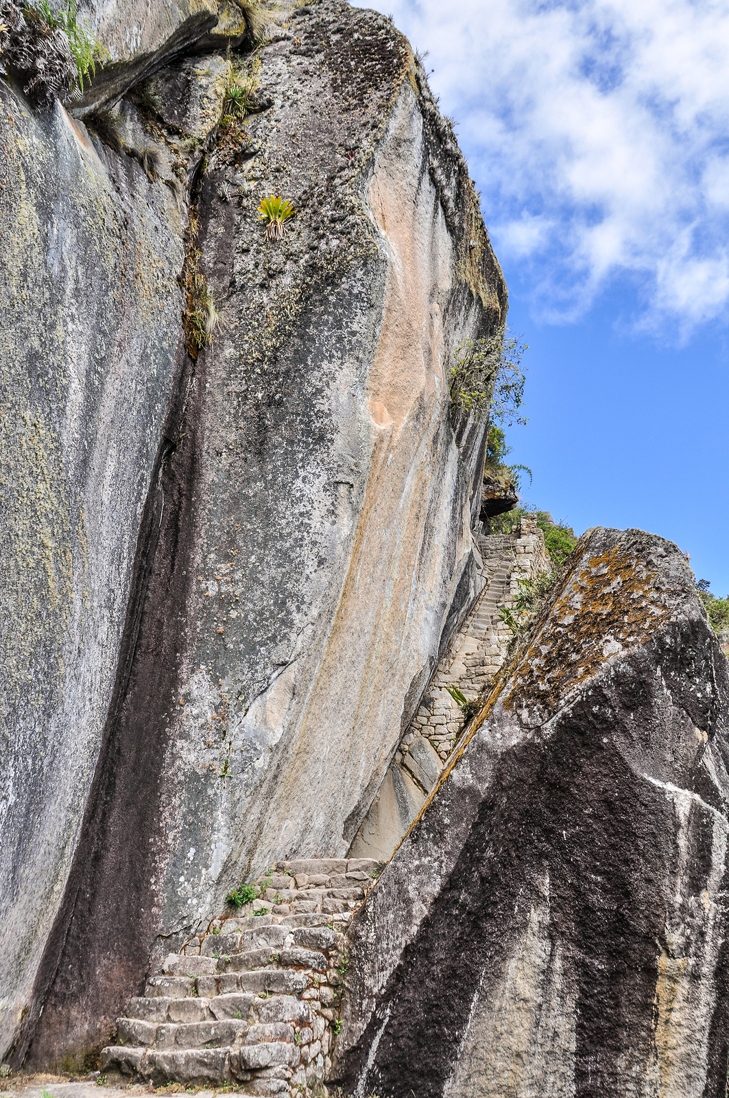
Numerous ancient sites of astounding beauty, precision and detail fill this eleven-mile, spiritual sanctuary. Here are but a few of her treasures: Machu Picchu Temple Grounds and Terrace;3 Huayna Picchu; the Archaeological Park at Ollantaytampo;4 Pisac-the largest Incan site, known as Maras Salt Ponds5 and the Temple of the Moon6 one of many additional hidden treasures.7 Exquisitely detailed, these ancient and vast ruins of the Incan Empire still stand today, thanks to the masterful perfection of the creators’ stone masonry.
-
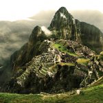
- 3. Temple Grounds
-
- 4. Huayna Picchu
-
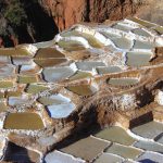
- 5. Salt Ponds
-
- 6. Temple of Moon
-
- 7.
HOW TO LOCATE THE LANDSCAPE
Finding landscapes is a matter of patiently searching small areas of your map at varyingly levels of altitude. Some landscapes are only 500 feet in length while others are a phenomenal 2,000 miles in length. The larger the landscape the farther away you have to be to see it. Check places that you have always liked to go, as familiarity can help you see the unseen. There is one more consideration: not all landscapes are found right side up!