TIBETAN PANTHEON
Landscapes Lost In Time
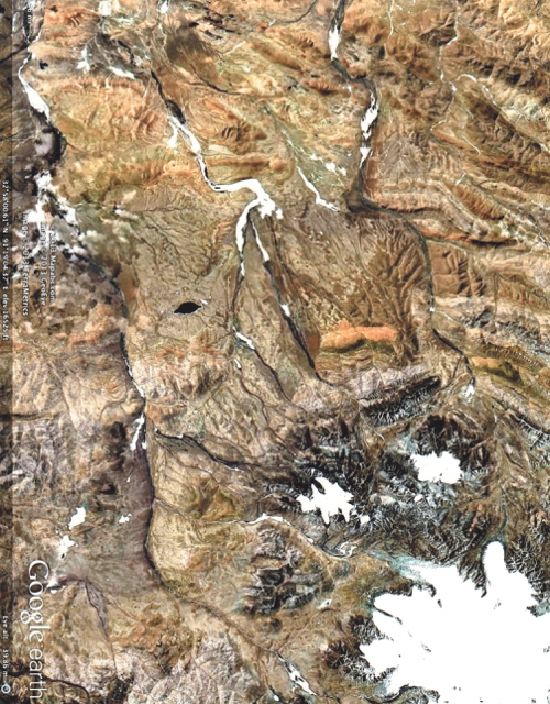
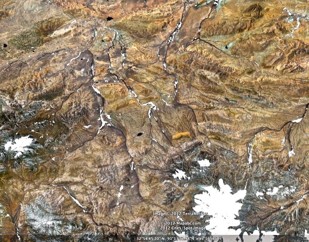
Ga’erran Rilongcun, Nagga, Tibet, China
GEOGRAPHY
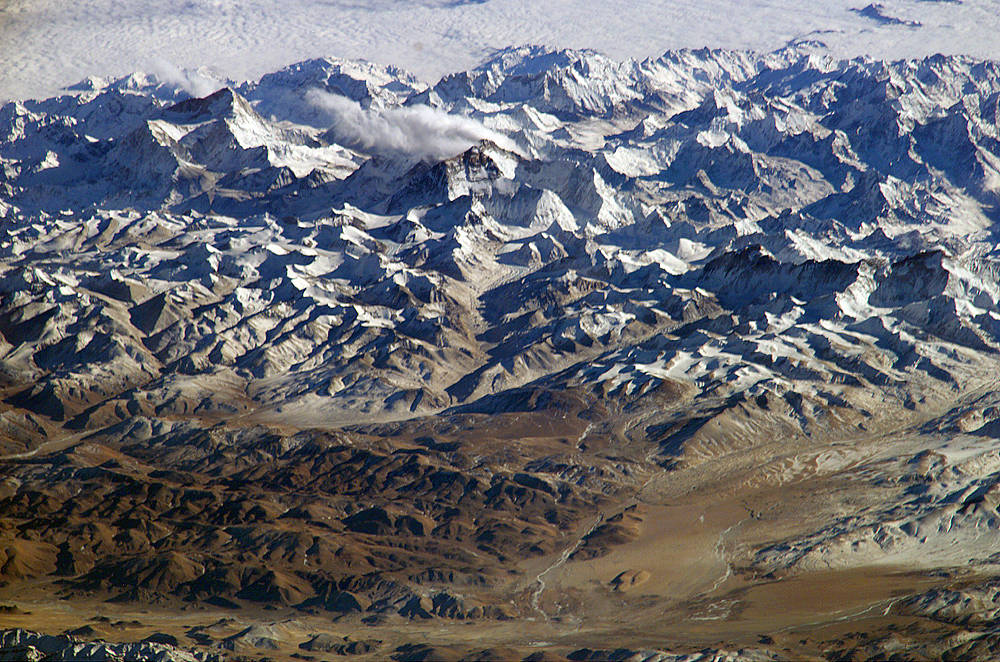
The great Tibetan Plateau, often called the Roof of the World, is the highest plateau on earth with an area of 970,000 square miles and an average elevation of 14,800 feet. National Geographic asserts that: “Some two billion people in more than a dozen countries — nearly a third of the world’s population — depend on rivers fed by the snow and glaciers of the plateau region.” The eastern Tibetan Plateau alone holds over 40,000 glaciers that fill Asia’s largest rivers: the Ganges, “Sacred Mother River;” the Mekong, “Mother of Water” and Yangtze, “Mother River Passing Through Heaven.” All rivers are considered aspects of the Mother Goddess
The source of the Yangtze River lies at Gelandaindong Peak in the Tanggula Mountains, at 21,722 feet. It flows 3,915 miles to the sea making it the 3rd longest river on earth. Gelandaindong means Tens of Thousands of Glaciers1 or as the locals say, great rows of dragon’s teeth.
The official headstream of the Yangtze is called Tuótuó Hé meaning Tearful or Red River.2 The local Tibetan people know this river source by its ancient name Dru-Chu or Mother Yak. For like the river, the Yak gives fully of herself providing the Tibetan people with milk, food, warm blankets, and clothing.3
-

- 1
-
- 2

-
- 3

THE DISCOVERY
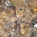
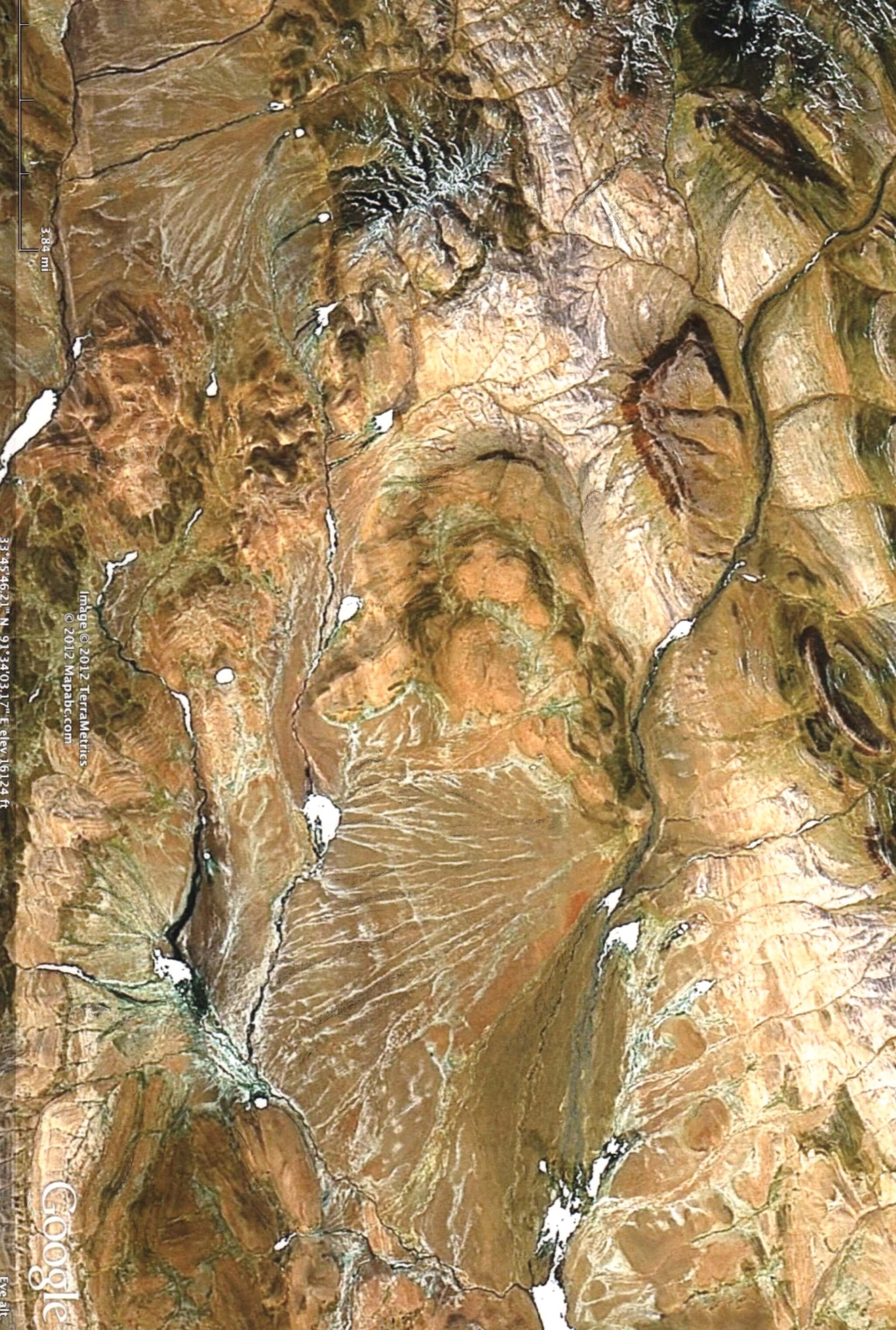
Just 25 miles south of Geladaindong Peak lay a large, stunningly detailed landscape. Rotating this area, so that North lies South, reveals a Tibetan Monk sitting upright in a meditative pose. The monks’ body is an amazing 20 by 15 miles in size and sits at elevations from 16,239 feet to 18,773 feet high.
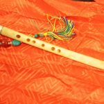
The details of the monk and his surroundings are astonishing. On the crown of his head is a single white feather created from the icy river. (see first image) At his waist he wears an orange sash representing Buddha’s Teachings of Wisdom. In his lap he holds the eagle flute4 made of the wing bone of the vulture, a magic and divine bird in the eyes of Tibetans. To the lower left of the monk, another character comes into view. It appears to be the face of the spiritual warrior Hanuman – part monkey and part man – whose heart is said to be forever open. He and the great face appear to be sharing the same breath of life.5
-
- 4

-
- 5
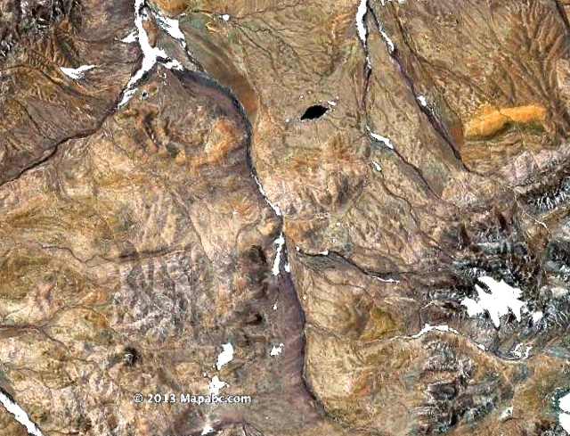
There are only two place names in this vast sanctuary and the meaning of these names speak to lessons that one may learn here. The first place is just above the meditating Monk’s head. It is called Ga’erran Rilongcun, also spelled Garan, a transliteration of the Sanskrit saMghaaraama, literally meaning Garden for Monks. Rilong means great prosperity and cun is sun-symbolic of the self. A garan was originally just a park where monks gathered together with their teacher, but the term later came to mean Buddhist Temple. The second named place, left of the monks head, is named Miri Gongoucun. Here, Miri means bitter, Gongou or gongyo means very hard and frequent practice” and cun is symbolic of the self.
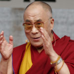
This specific landscape covers an area of 40 square miles and in 2013 could be clearly seen 100 miles above the earth.6 The interpretation of this scene is validated by its location in the Amdo District-Qinghai Province of Tibet, the birthplace and home of many monks and Tibetan Buddhists such as the present Dalai Lama.7
-
- 6
-
- 7

ENDANGERED SPECIES
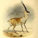
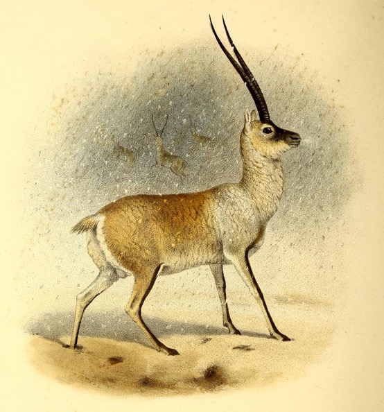
70% of the plateau region is grassland and the home of many unique animals found nowhere else in the world. One of the two largest remaining Tibetan Antelope populations survives here on the plateau. The Antelope is the symbol of innocence and generosity and once roamed the plateau in multiple herds of 15,000 strong. Now, herds number a mere 1000. Originally the Tibetan people hunted the antelope for food, however, today, great numbers are slaughtered illegally to obtain their highly sought downy undercoat known as Shahtoosh, selling on the black market for as much as $1,000 US dollars for 15 ounces. Chinese State Forestry Administration reports: “65 to 75,000 antelope still live, but poaching kills 20,000 antelopes a year. If this continues they will become extinct within 5 years.”
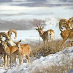
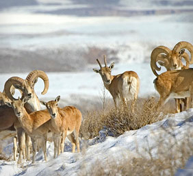
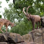
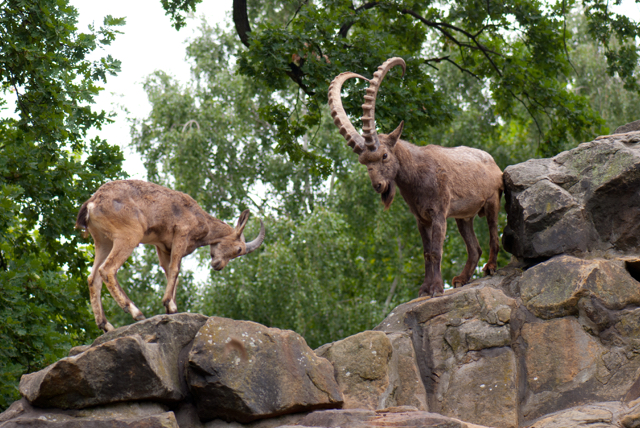
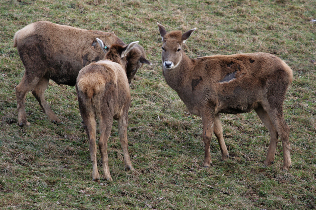
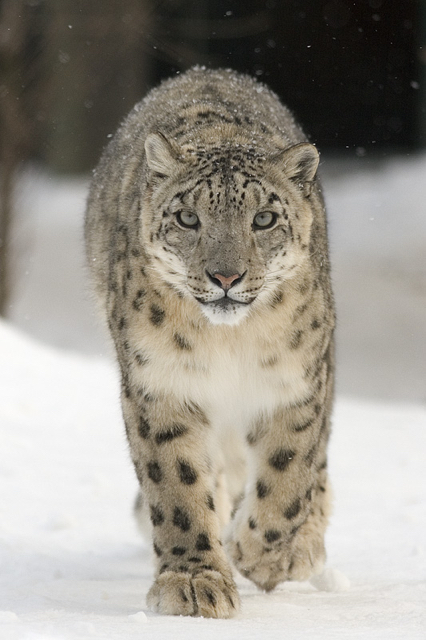
Other animals unique to the Tibetan Plateau are: the large Marco Polo sheep;8 Chiru the Tibetan Antelope;9 Siberian Ibex10 and White-lipped Deer.11 Also included are predators like the Snow Leopard12 and the Himalayan Bear.13
-
- 8
-
- 9
-
- 10
-
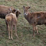
- 11
-
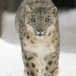
- 12
-
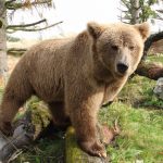
- 13
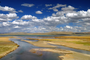
TUOTUO RIVER NURSERY
Click for Full Image
The glacial waters from the Gelandandong flow into the Tuotuo River that wraps around this unique mountain scene. Here, a young child is born, surrounded by mythic guardians. The child is wrapped in of womb of blankets with many protectors and witnesses nearby. Clearly, as the birth takes place just outside of the mountainous Tibetan Pantheon, this child’s birth seems an important event. The intricate details of the child’s face and the strange guardians that enclose about her, defy explanation.
LAKES of THE TIBETAN PANTHEON
Click for Full Image
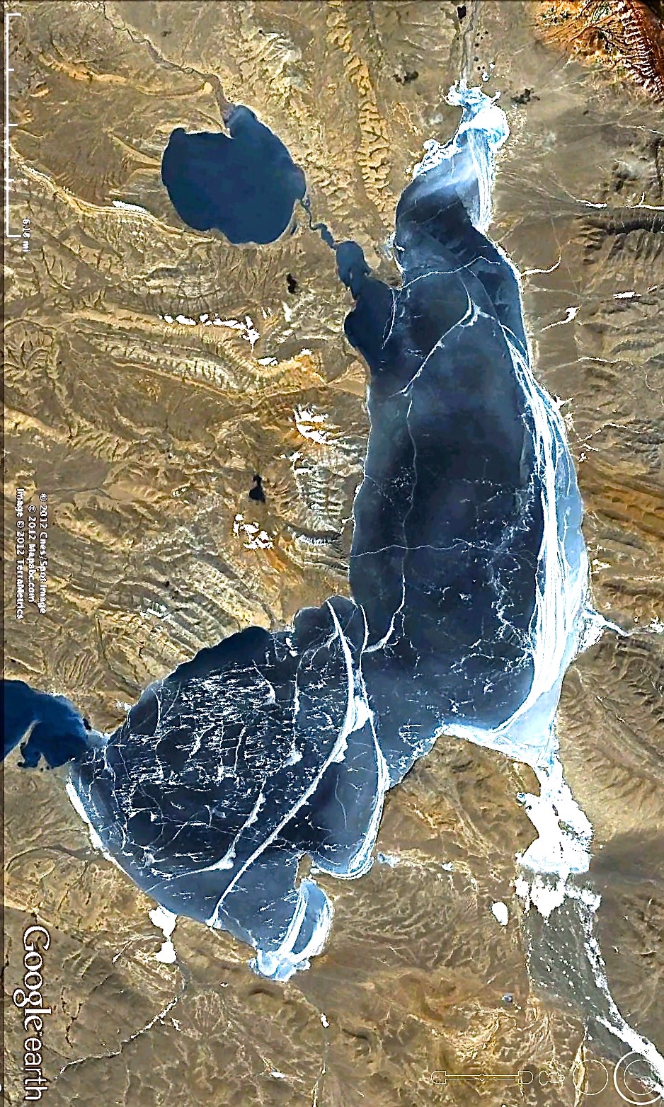
43 miles west of the Tibetan Pantheon is a lake that looks more like a monk. This first and larger lake is known as Chibzhang Co meaning Soul of the Valley. Here, the lake appears to be a monk or priest who is channeling or receiving energy from the floating lake above through his pointer finger. He stands grounded with the great tortoise below him. The prolific glacial waters of the Gelandaindong Mountains are at his back, the flow of which is responsible for the shape of his body that changes in shape with the seasonal rains.
Click for Full Image
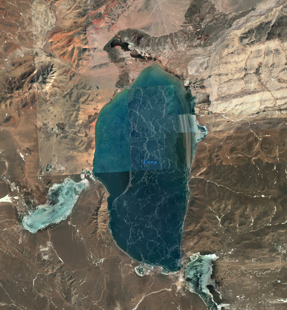
The second lake is Cona Lake or TsoNak and means Soul Lake Devotee. This lake lies 43 miles south of the Pantheon and reveals the image of a man’s head with the lake as his body. The name given to the lake honors the cultural importance of this landscape. TsoNak Lake lies within Amdo County, Nagqu Prefecture–the birthplace of the 14th Dalai Lama!
These detailed landscapes of the Tibetan Monk were taken by satellites 2013 Mapabc.com, 2013 GeoEye and 2013 Terra Metric’s. After 2013, this landscape was no longer offered. Highly populated areas are assigned a higher-resolution priority on maps than are many less used rural areas. Latest image is available in Google earth’s Historical Imagery file 3/2017.
Image 2, “Tuotuo River and landscape, Qinghai, western China”, by B_cool, 10.06.2007
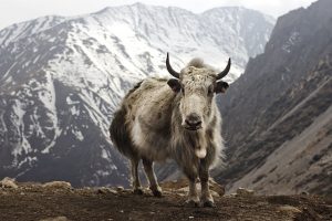
Image 3, “Yak at Ledar”, by travelwayoflife, 03.04.2012
HOW TO LOCATE THE LANDSCAPE
Finding landscapes is a matter of patiently searching small areas of your map at varyingly levels of altitude. Some landscapes are only 500 feet in length while others are a phenomenal 2,000 miles in length. The larger the landscape the farther away you have to be to see it. Check places that you have always liked to go, as familiarity can help you see the unseen. There is one more consideration, not all landscapes are found right side up!