Everything You Need to Find a Landscape
Below you will find articles that will help you get the most out of my website.
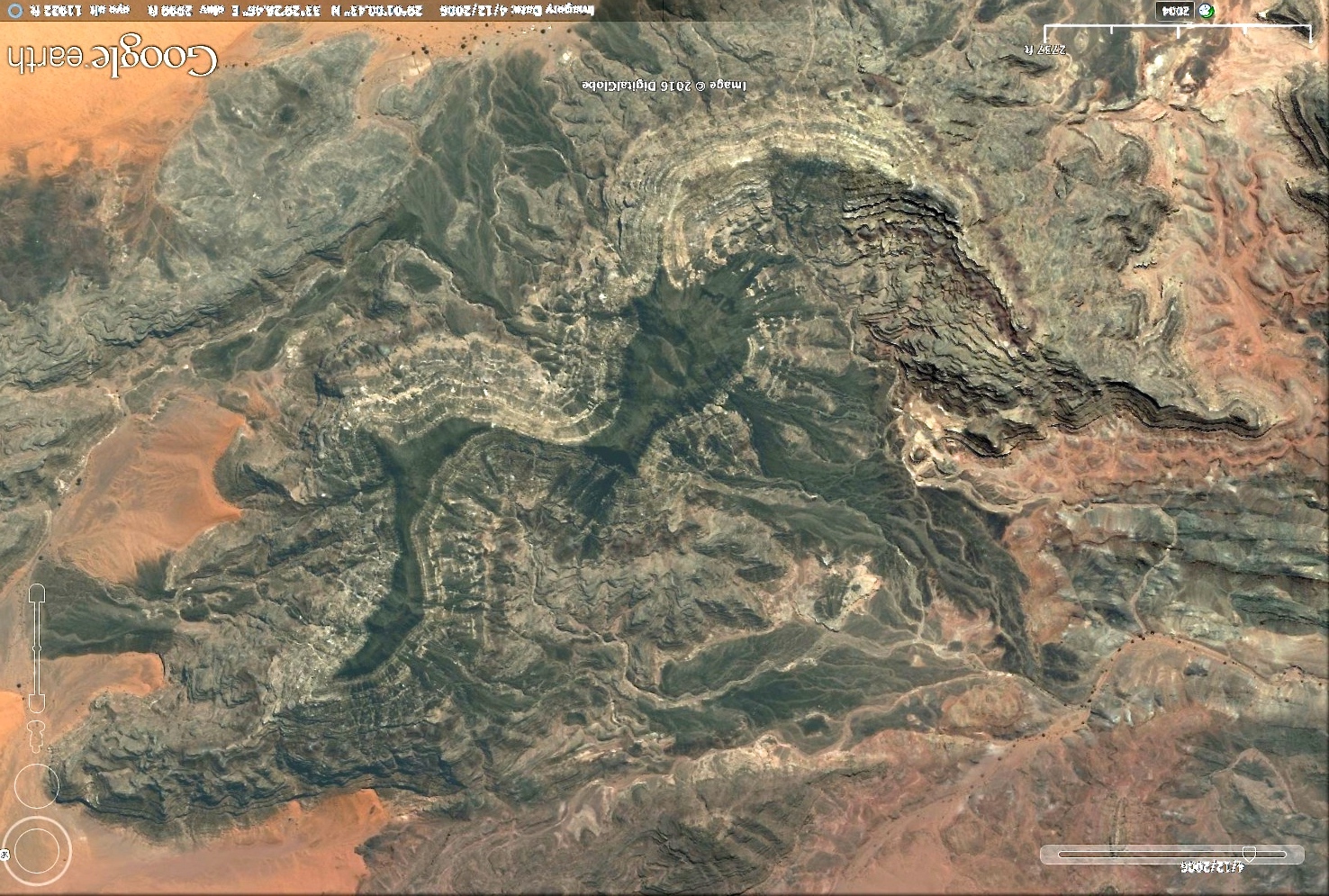
Why do current locations on the maps sometimes look totally different than those from previous years?
Google earth uses many different satellite companies. The maps are continually being updated or retired. For example, a remote area may be assigned as low-resolution imagery (less clear), while populated and traveled areas are assigned with higher-resolution imagery. With each update landscapes may change in appearance.
Many times you can find an original or older image available in ‘Google’s Historical Imagery File,’ which can be accessed by the blue ball located on the upper info bar. The archives of Historical Imagery may contain more than a decade of varying resolutions of one location. In other cases satellite companies may choose to retire the images they own at any time.
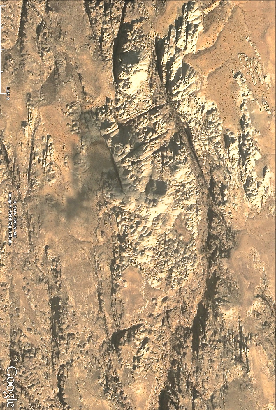
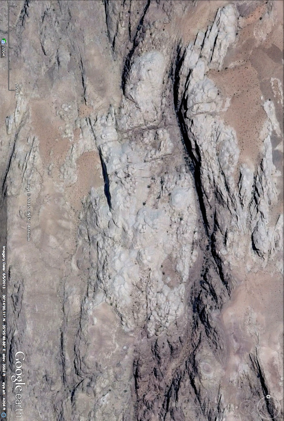
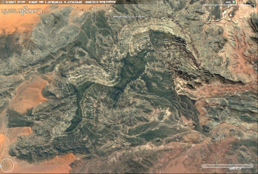
Here are two examples of locations from ‘then and now.’ The first I have named Kwan Yin. She was found in Jordan on the pilgrim’s path to Mount Sinai. Landscape One is from the Historical Imagery of 2004. Landscape Two is from 2015.
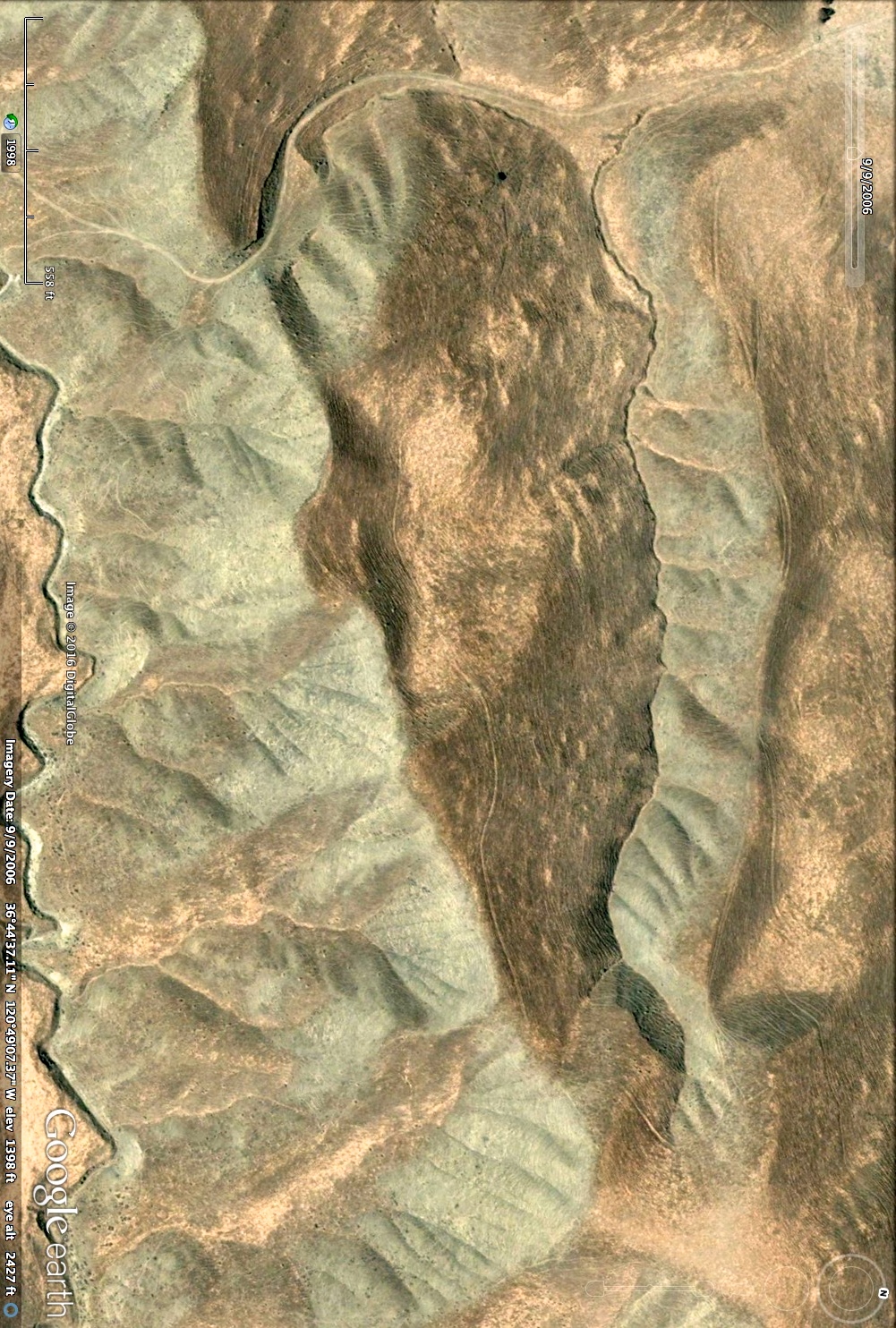
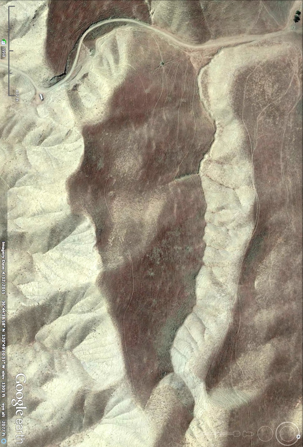
Landscape Three, Coso Paiute, was taken in 2006. Landscape Four is from 2016. Depending on the time of day, the shadows cast, and the assigned resolution, mountain areas such as the ones below, can look drastically different.
-

- 1. Jordan, Petra 5168 ft
-

- 2. Kwan Yin, Jordan 2015a
-
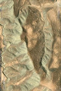
- 3. Coso Paiute (9:9:2006)
-
- 4.Coso Paiute 10-2-2016
COMPASS
Many of these sculptures are oriented to a direction other than North. I found many landscape images that were upside-down, with North in the South, while others were found lying East or West.
Many of these sculptures are oriented to a direction other than North. I found many landscape images that were upside-down, with North in the South, while others were found lying East or West.
CULTURE
The landscapes reveal the culture in which they are found. For example: ‘The Face of Shiva’ is found in the Himalayas and not in the Rockies; Hawai’i’s ‘Pele’ is found on Mauna Loa, not in the Andes Mountains; and ‘Chief Seattle’ gazes upon the city of Seattle, not on Mexico City. Each landscape image tells the story of the history and culture of the peoples that have populated each region.
IMAGE SIZE
Sizes of these sculptures range from 500 feet in length to 3,300 miles in length. Many would never have been discovered before the invention and use of satellites.
HISTORICAL IMAGERY
Google uses many satellite companies to continually update its maps. You may find a landscape sculpture today, and then, a month later find it diminished in clarity or even deleted. This happens when a satellite company is no longer providing the image. It may also occur when an area is designated as a low-resolution area, such as vast desert lands or unpopulated areas. If, in your own searches, you can no longer see the landscape images that you once found, they may have been retired to ‘Google’s Historical Images’ file. (located on the blue ball on the bar above the map). In some cases, images in sensitive areas can be masked by request.
DUAL IMAGES
Some landscape images contain a second or third image buried or overlaid within or upon a prominent larger one. Yet, their cultural stories are interconnected. For example, in the image I named, the ‘Guardian of the Temple of Hathor,’ the upright image shows Hathor’s dragon, but when the image is turned on its side, you can see Her protector, the crouching lion.
-
- This upright image shows Hathor’s dragon

-
- When the image is turned on its side, you can see Her protector, the crouching lion